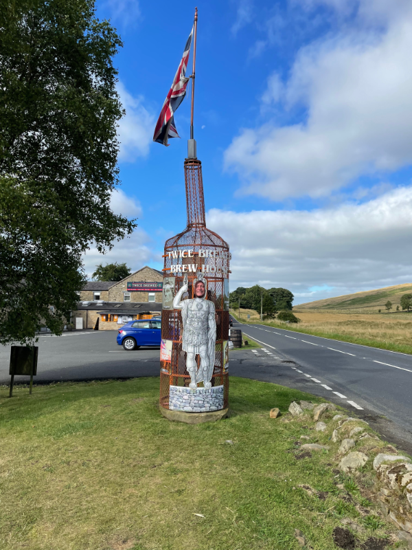
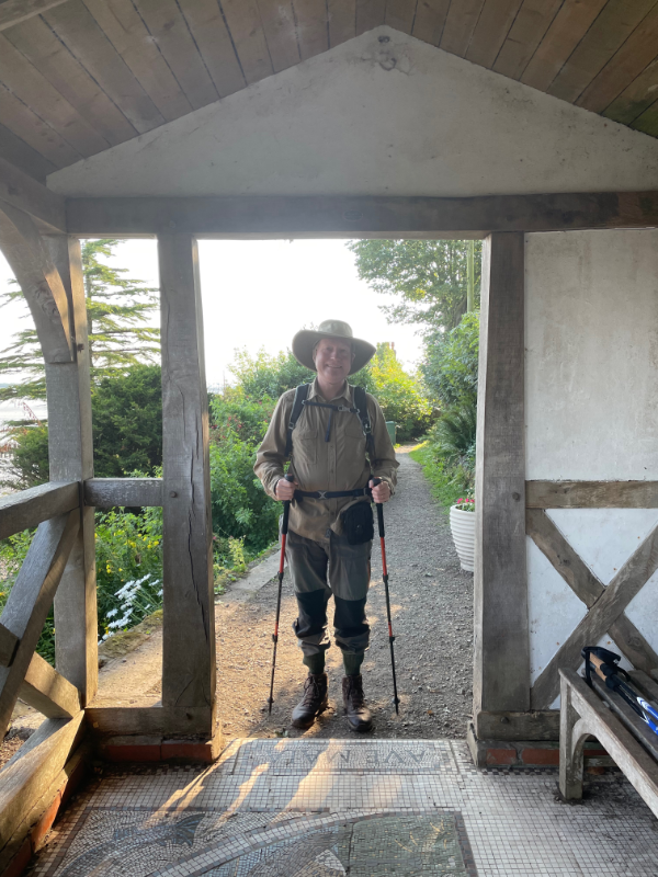
Day 4 our our walk started from our Hotel, The Twice Brewed Inn at Once Brewed.
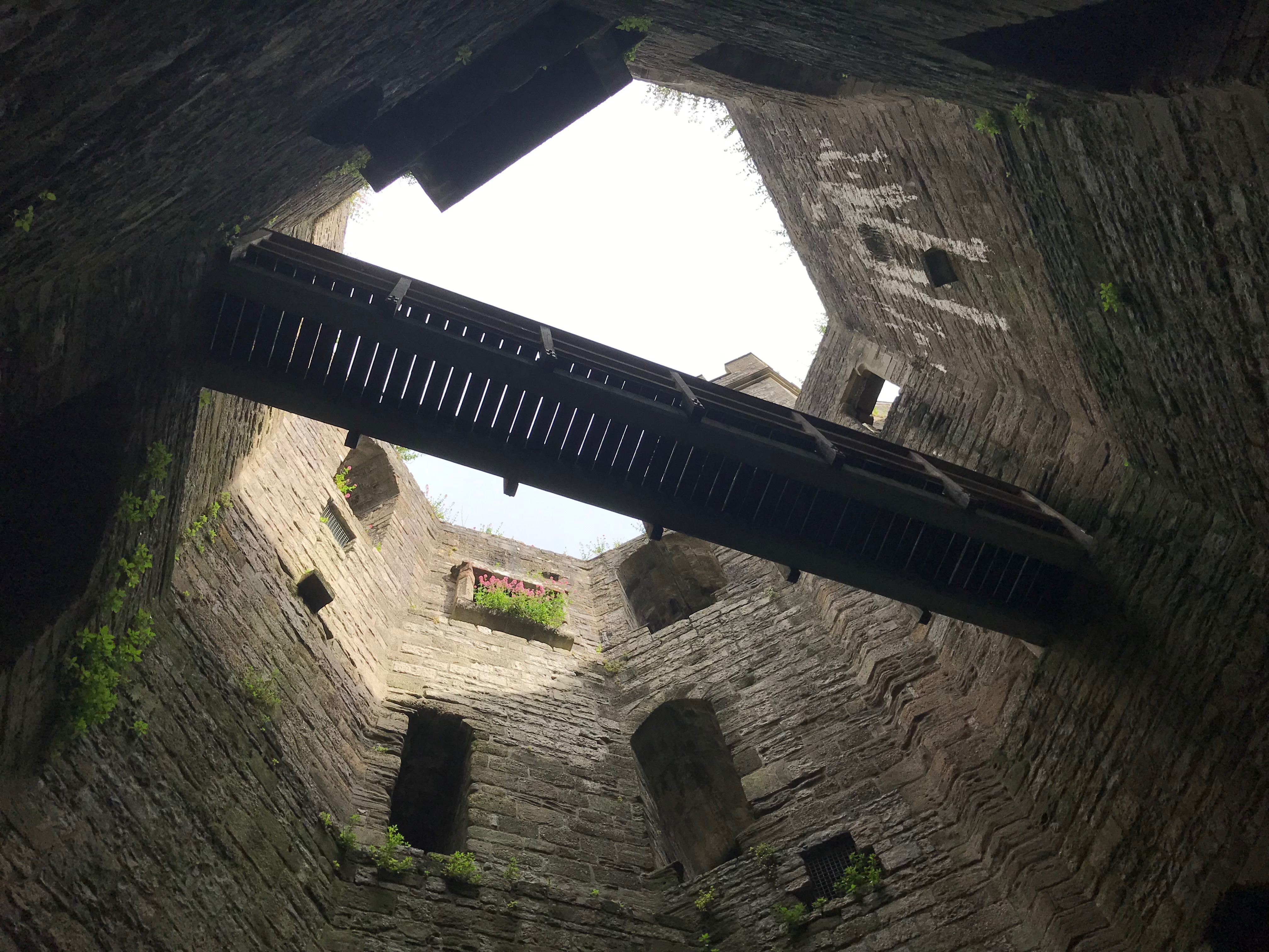
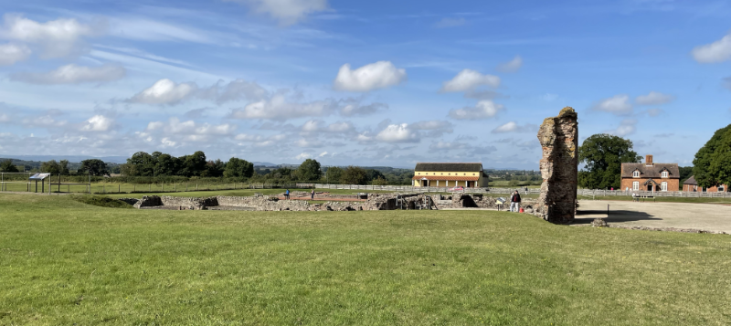
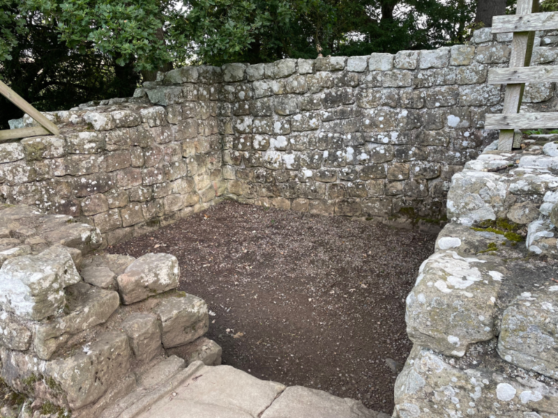
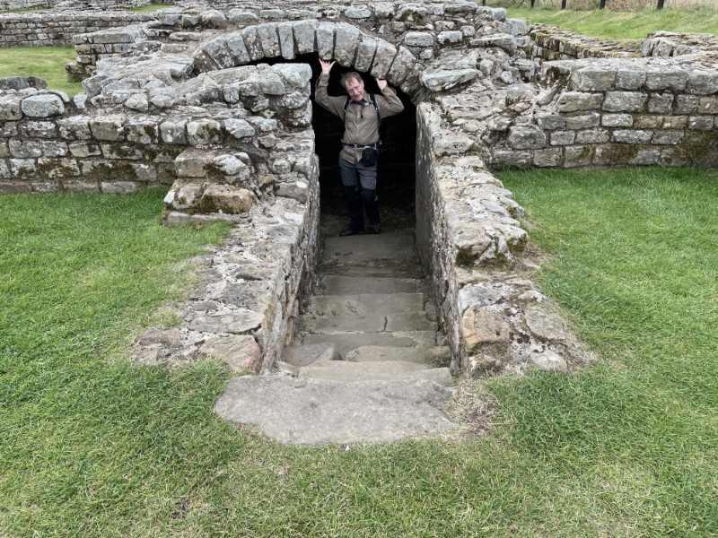
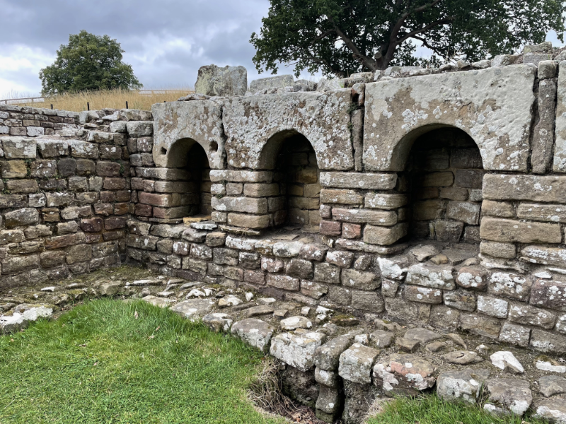
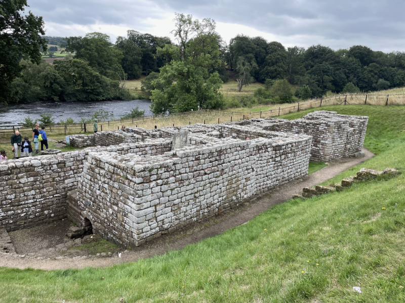
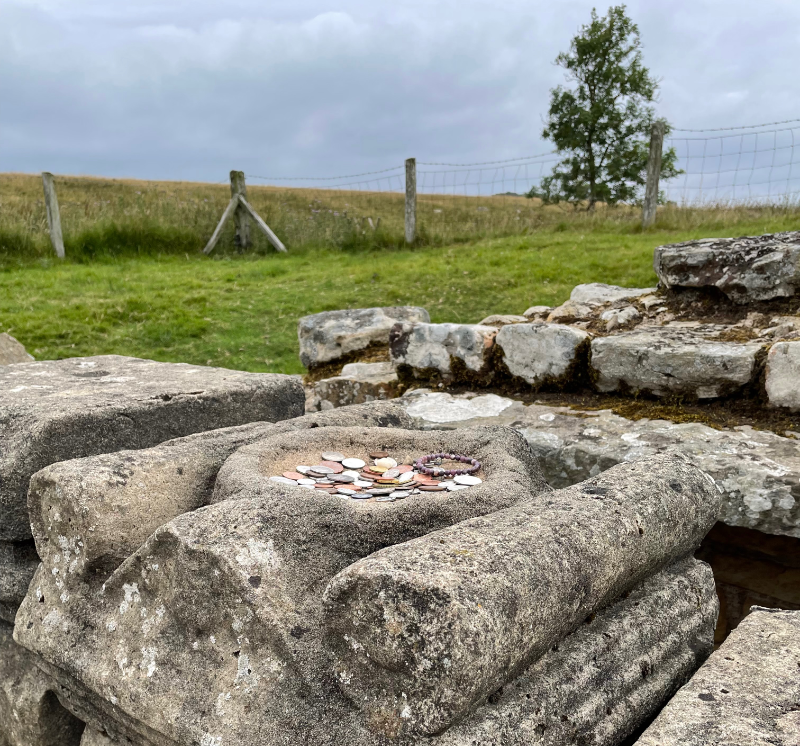
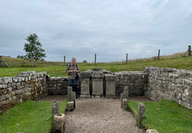
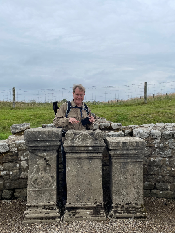
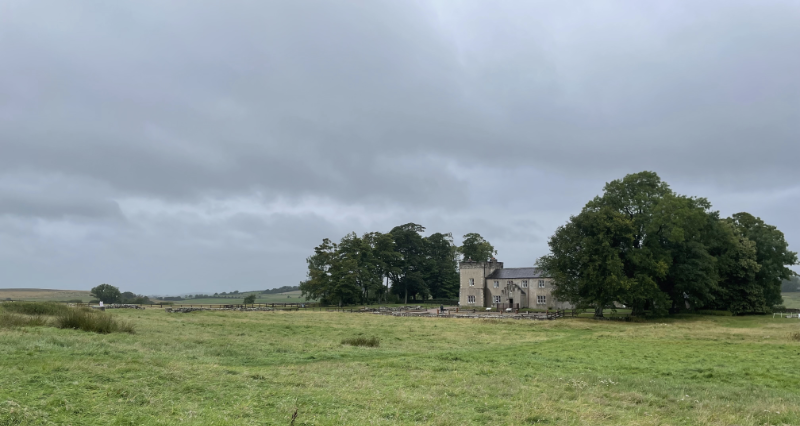
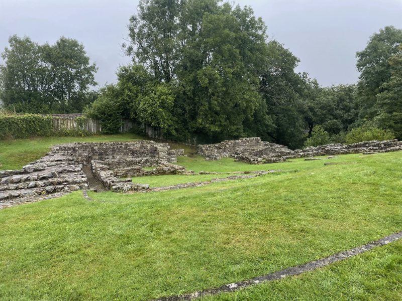
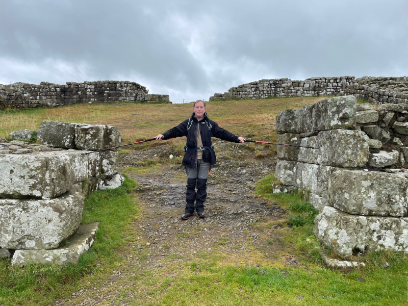
We then took a detour to Vindolanda. A large roman fort slightly off the wall which is owned by a private trust, not English Heritage and has an active dig on site, plus museum, tea house, fake roman temple and all the works. Strangely I didn't take many photos.
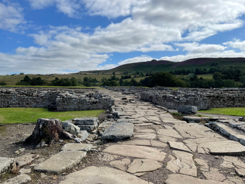
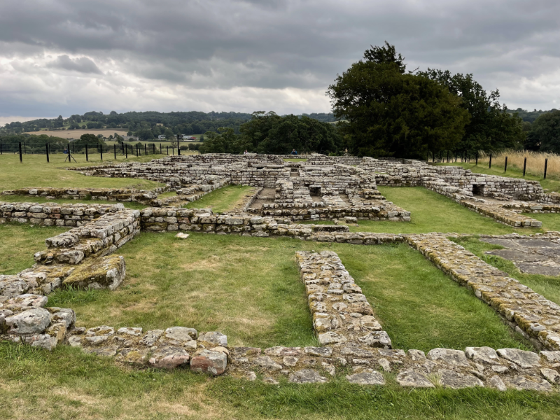
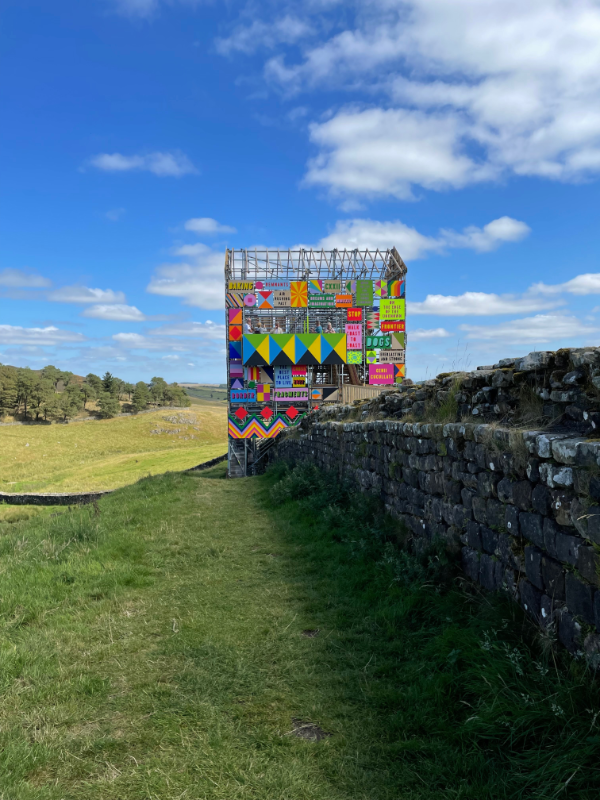
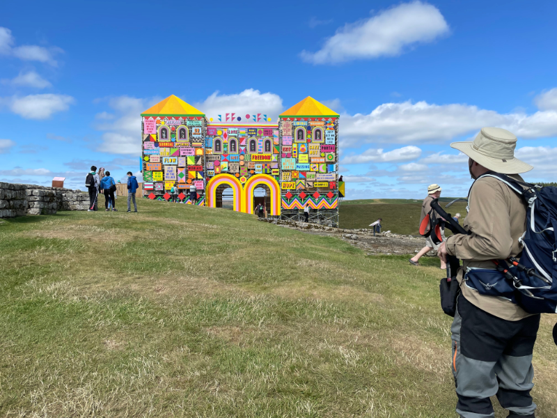
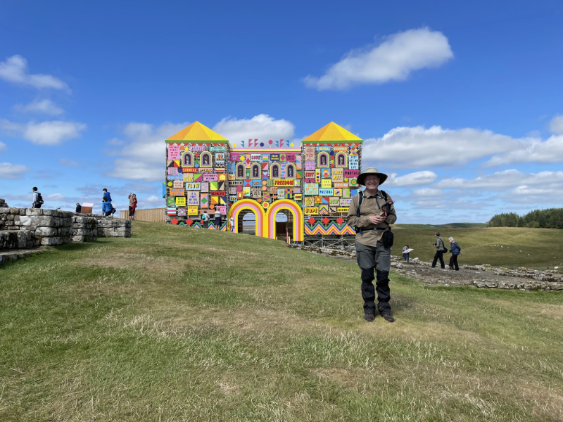
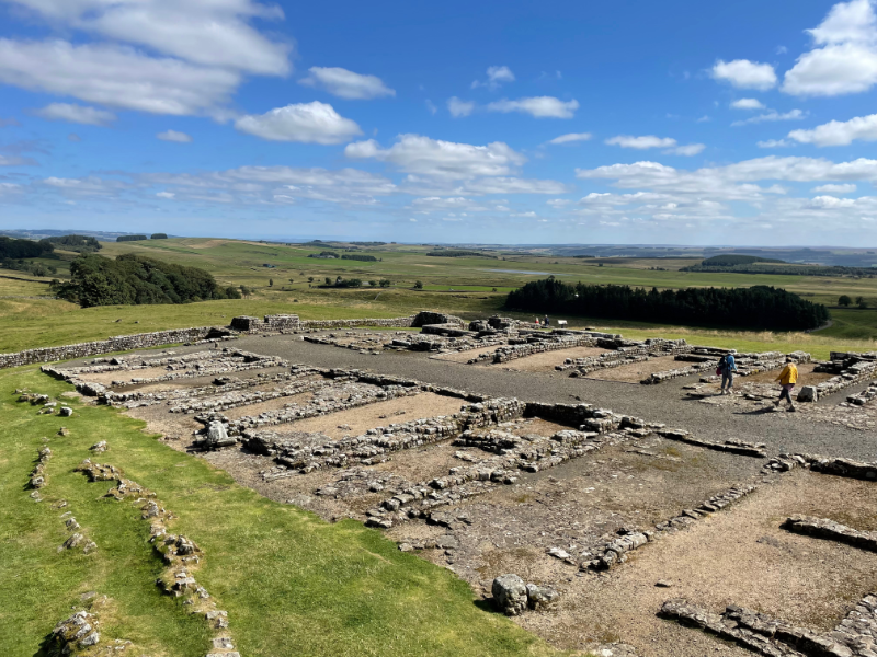
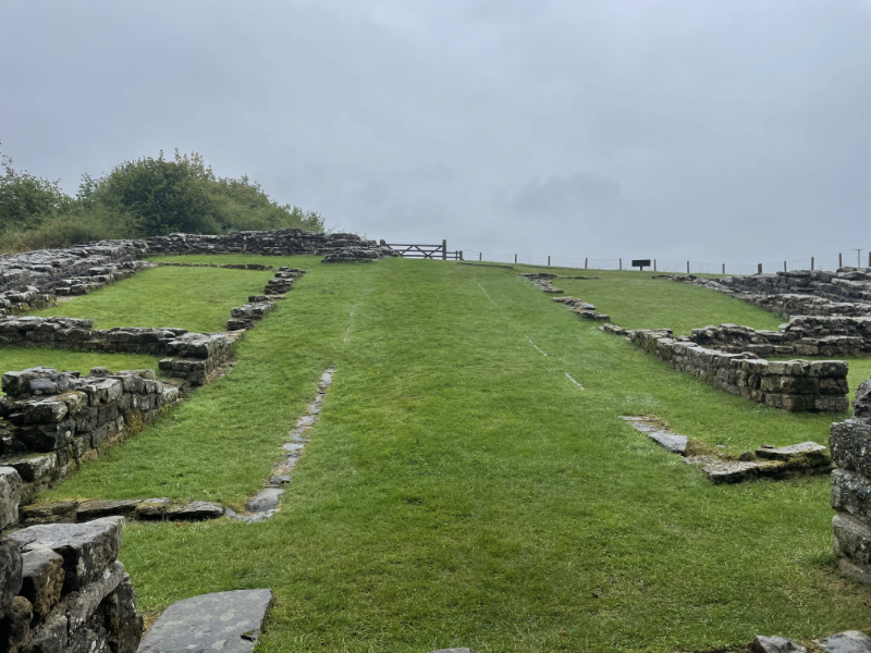
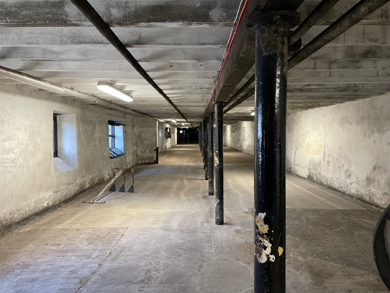
This is the main entrance way to the fort proper.
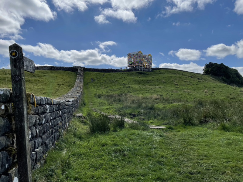
After that we went back up to the wall to walk to our next B&B. Our walk included Sycamore Gap made famous by
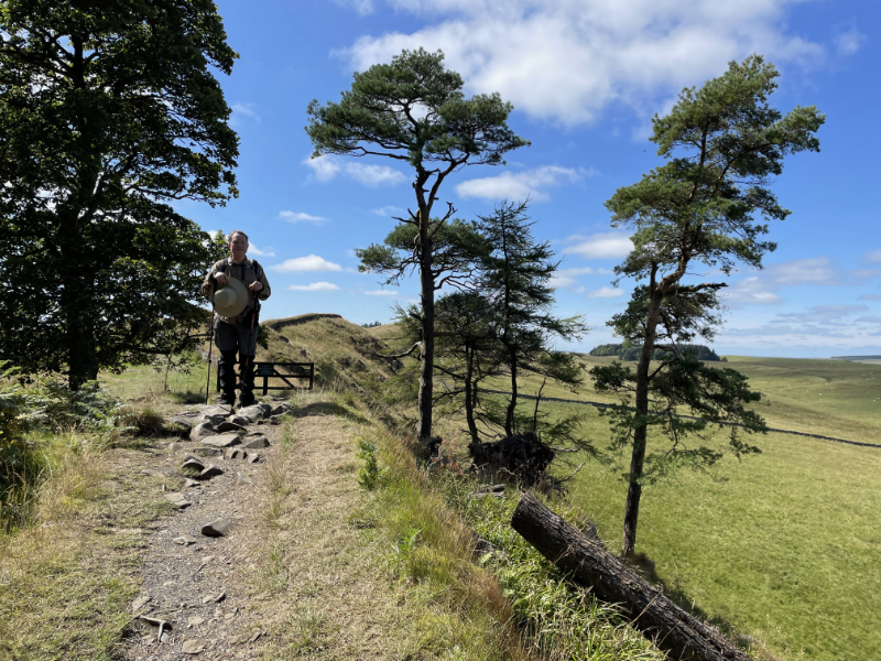
Robin Hood: Prince of Thieves (albeit the film locates it somewhere between Dover and Nottingham). When we came past previously there was no one there but this time it was full of people having picnics in the sun. This is not terribly surprising since it is a short walk from one of the main car parks on the wall, if anything it was odd that we didn't see people the previous time, but I think we came past much earlier in the day. We had noticed the last time a small sycamore in a circular stone enclosure, presumably being grown to replace the big one at some point. We were sad to see this time that the enclosure had been dismantled and the baby tree was nowhere to be seen.
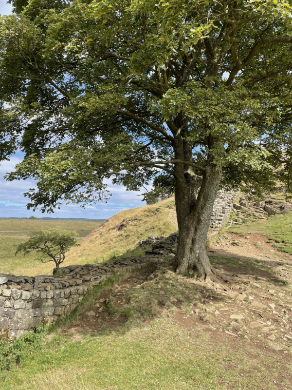
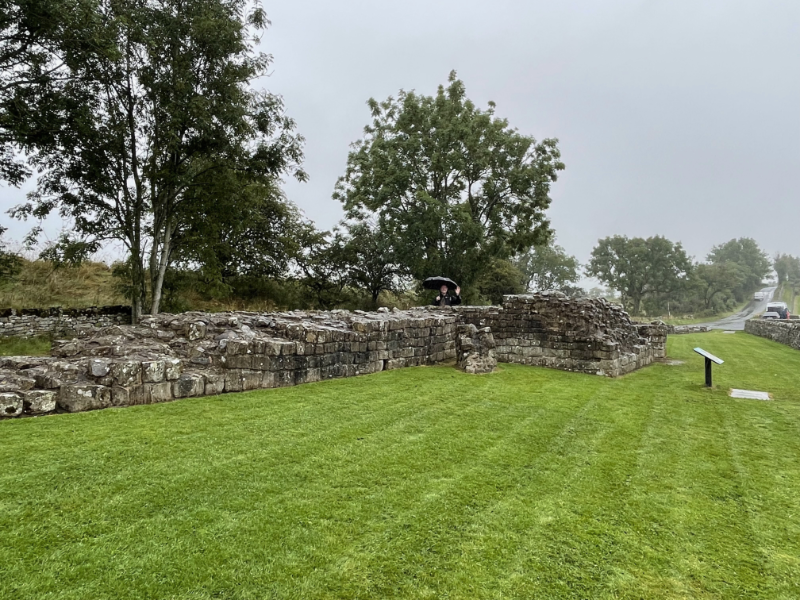
This angle was very carefully chosen so as not to show picnickers.
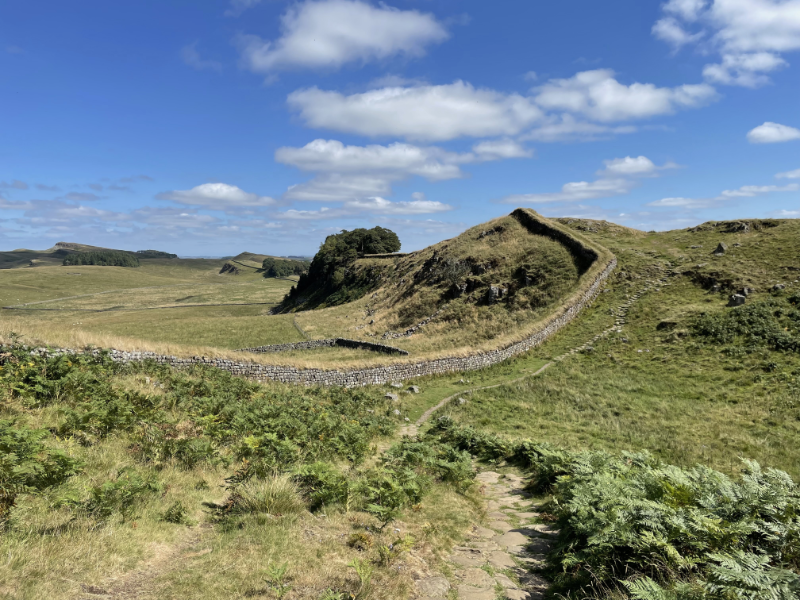
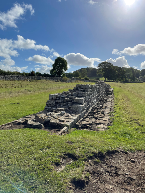
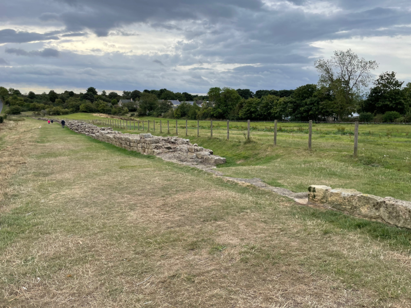
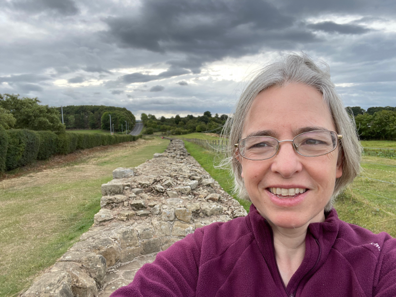
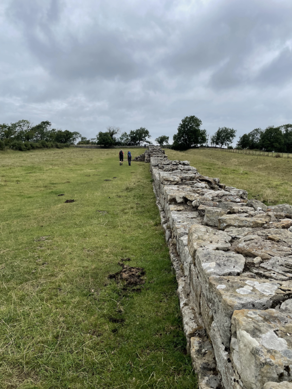
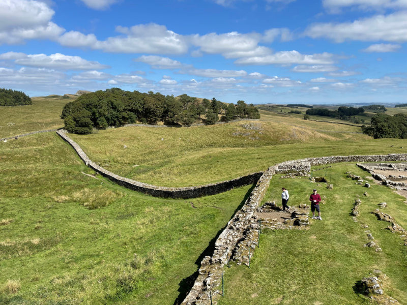
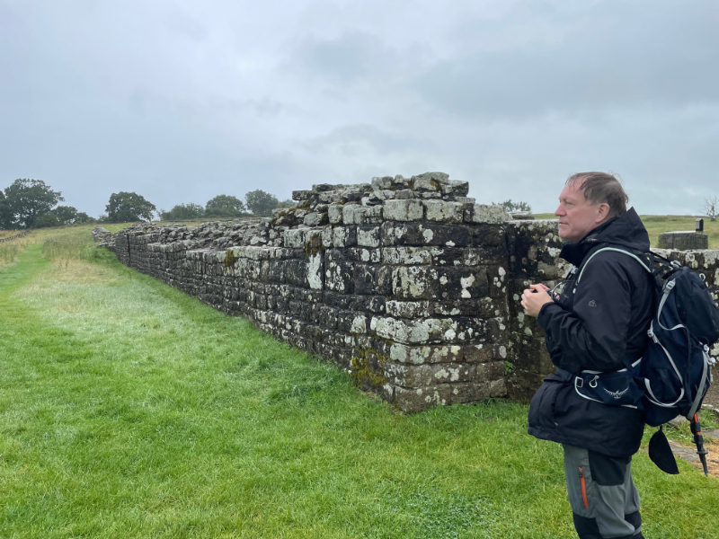
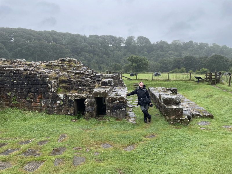
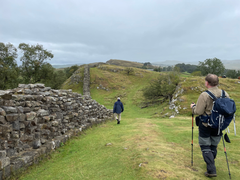
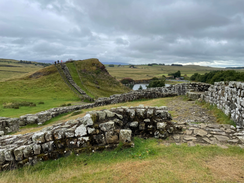
In the walk up to Housteads Fort (more on which anon) there is a stretch of wall you are "allowed" to walk on.
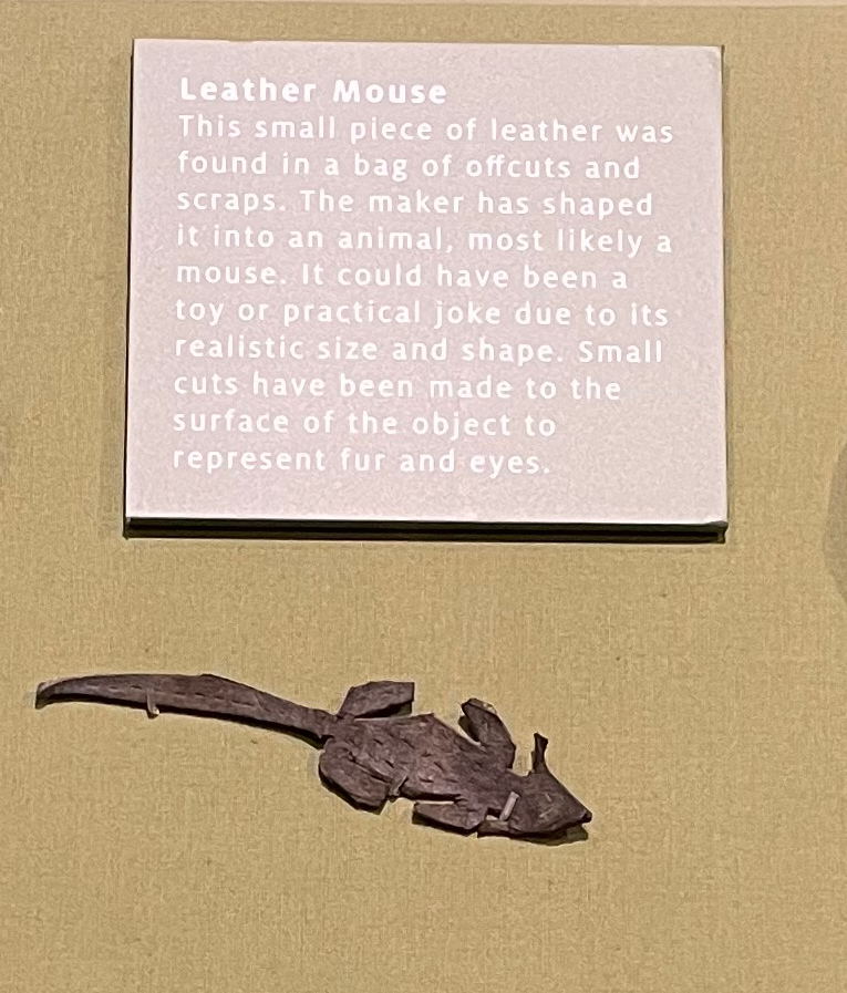
 ( Pictures under the Cut )
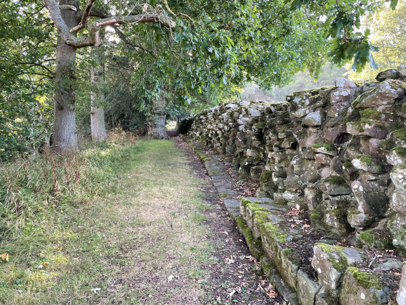

 .
.