Entry tags:
Moel Goedog Circular Walk
We decided to go for a walk on our final day in Portmeirion. We could see a ridge of hills across the estuary from our cottage balcony. Some consultation of the Ordnance Survey map led us to decide that one of these was Moel Goedog which had a hill fort on the top. Further consultation of the internet suggested there was a circular walk around the Hill.

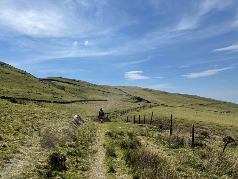
Although the circular walk avoided the summit, we started by heading straight up the hill because hill fort. We got close to the top before our way was blocked by a dry stone wall, but then we realised we were standing on a bank and ditch that were probably part of the fort.
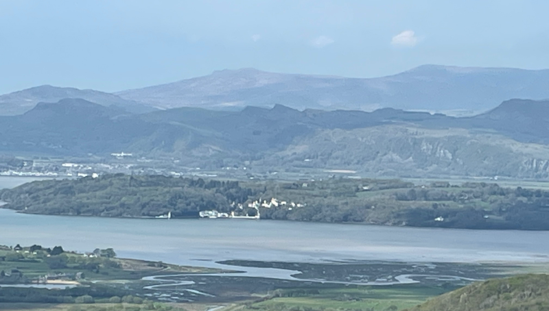
We then went back down and followed the path most of the rest of the way. We could indeed see Portmeirion from the estuary side of the hill.
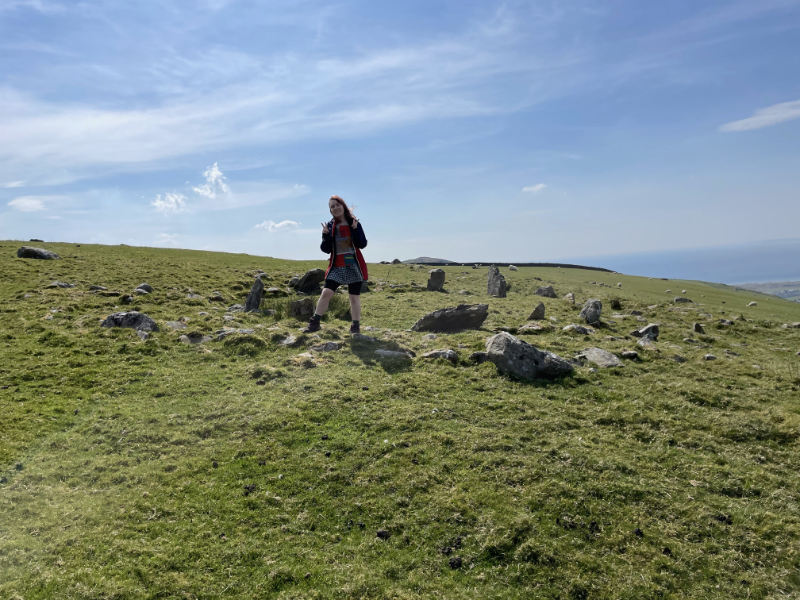
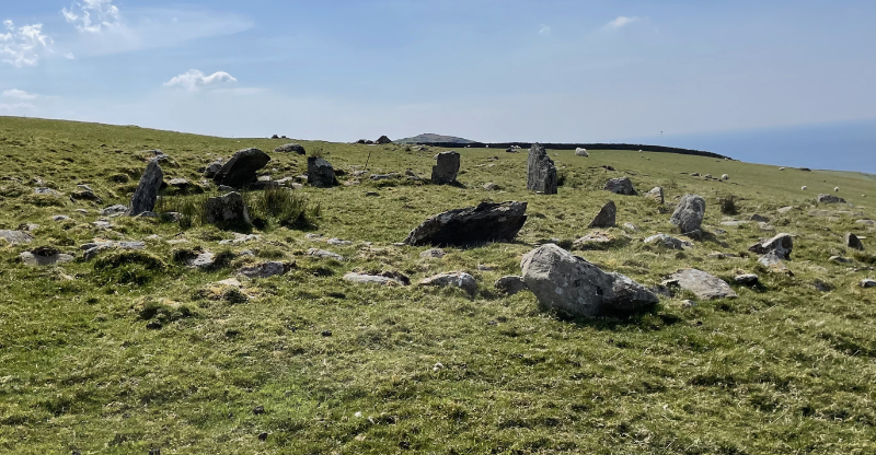
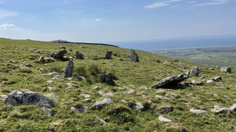
The OS map also suggested there was a stone circle and standing stone. We found the stone circle, albeit the kind of stone circle that makes you imagine a bunch of slightly drunk neolithic tribesmen constructing it as a bit of a giggle to confuse the archeologists - rather than a site of immense ritual significance.
Although the circular walk avoided the summit, we started by heading straight up the hill because hill fort. We got close to the top before our way was blocked by a dry stone wall, but then we realised we were standing on a bank and ditch that were probably part of the fort.
We then went back down and followed the path most of the rest of the way. We could indeed see Portmeirion from the estuary side of the hill.
The OS map also suggested there was a stone circle and standing stone. We found the stone circle, albeit the kind of stone circle that makes you imagine a bunch of slightly drunk neolithic tribesmen constructing it as a bit of a giggle to confuse the archeologists - rather than a site of immense ritual significance.